CA Licensed PLS #8099 | Calabasas, CA

June 6, 2026

A practical guide for California property owners, designers, and builders
Land surveyors in California perform services that can affect property boundaries, improvements, easements, and construction locations. The common thread is accountability: deliverables must be accurate, traceable to evidence, and prepared under a licensed professional who can explain and defend the work.
· Boundary surveys and corner marking for fences, neighbor coordination, and improvements near property lines.
· Topographic (topo) surveys for architectural and civil design, grading, and drainage planning.
· ALTA/NSPS land title surveys (primarily for commercial transactions) when required by title and lenders.
· Construction staking/layout to position foundations, walls, utilities, and site improvements per approved plans.
· As-built surveys (record surveys) to document what was installed or constructed in the field.
A quality survey follows a repeatable workflow. Even small residential projects typically require research and analysis before any lines are marked in the field.
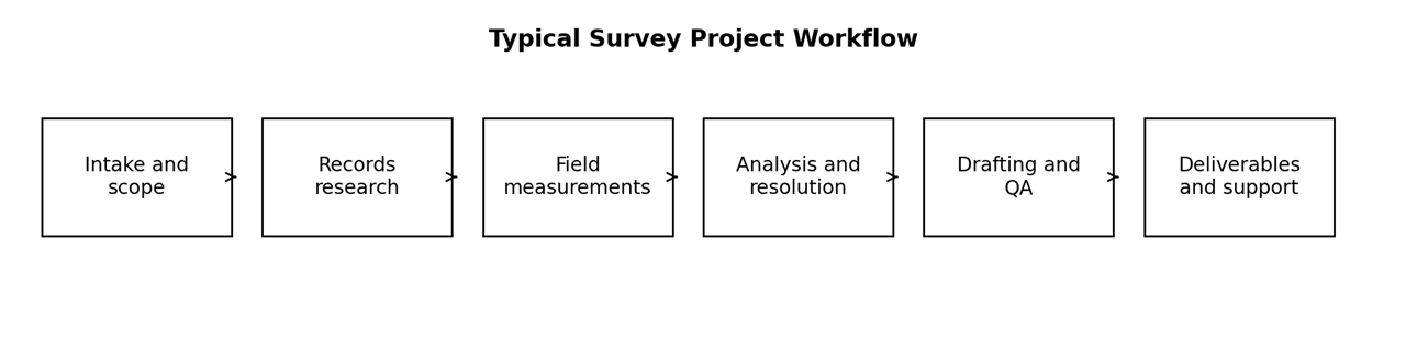
Surveying begins with records. Depending on the project, this may include deeds, tract or parcel maps, records of survey, corner records, and easement documents. The purpose is to understand how the parcel was created and how adjacent parcels relate to it. This step often explains why two properties on the same street can require different levels of effort.
In the field, the surveyor searches for existing monumentation and boundary evidence, measures improvements and features relevant to the scope, and collects control for consistent mapping. Conditions such as vegetation, access limitations, tight side yards, walls, and steep terrain can increase time on site.
A survey is not a single instrument reading. Measurements are processed, adjusted, and compared to record information. Where records conflict or monuments are missing, the surveyor evaluates evidence to reach a supportable conclusion. This is the part of the service that protects clients from expensive mistakes and disputes.
Deliverables vary by scope, but clients commonly receive:
· Field markings (when included): property corners found or set, and/or lines marked for fence layout or construction.
· A survey exhibit/map (PDF) showing findings, improvements relevant to the scope, and key annotations.
· CAD files (DWG/DXF) when requested for architects, engineers, or civil designers.
· A signed and stamped survey map when required or when the client needs a formal document for permitting or records.

The lowest-cost outcome is usually achieved when surveying is started before design is finalized and before construction or fence bids are committed. Early surveying helps confirm setbacks, avoids redesign, and reduces the risk of encroachment.
· Before building or replacing a fence, wall, or retaining wall near a boundary.
· Before submitting ADU or addition plans, especially when setbacks are tight.
· When buying or refinancing property and the lender or title company requests a survey.
· When a neighbor dispute arises about a line, fence, hedge, or structure location.
· Property address and APN (if available).
· Your goal (fence, addition/ADU design, dispute resolution, construction layout, etc.).
· Any plans or documents you have (site plan, title report, prior survey, tract or parcel map).
· Access details (occupied, gate code, pets, tenant coordination).
· Your desired deadline.